


The Hammerhead Ridge
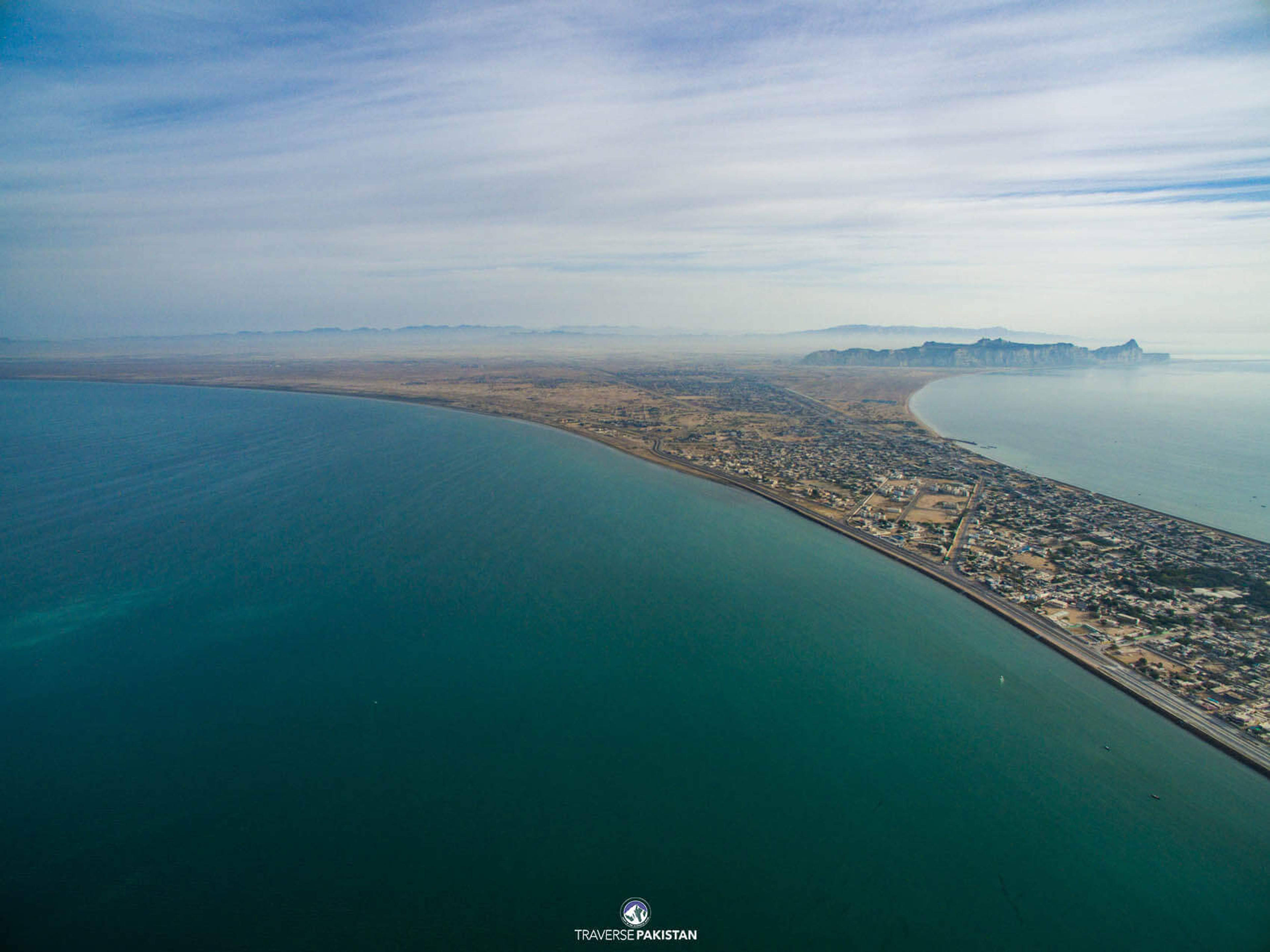
Rises 400 ft above the sea and gives Gwadar its distinctive dumbbell shape on the map.
Into the Horizon
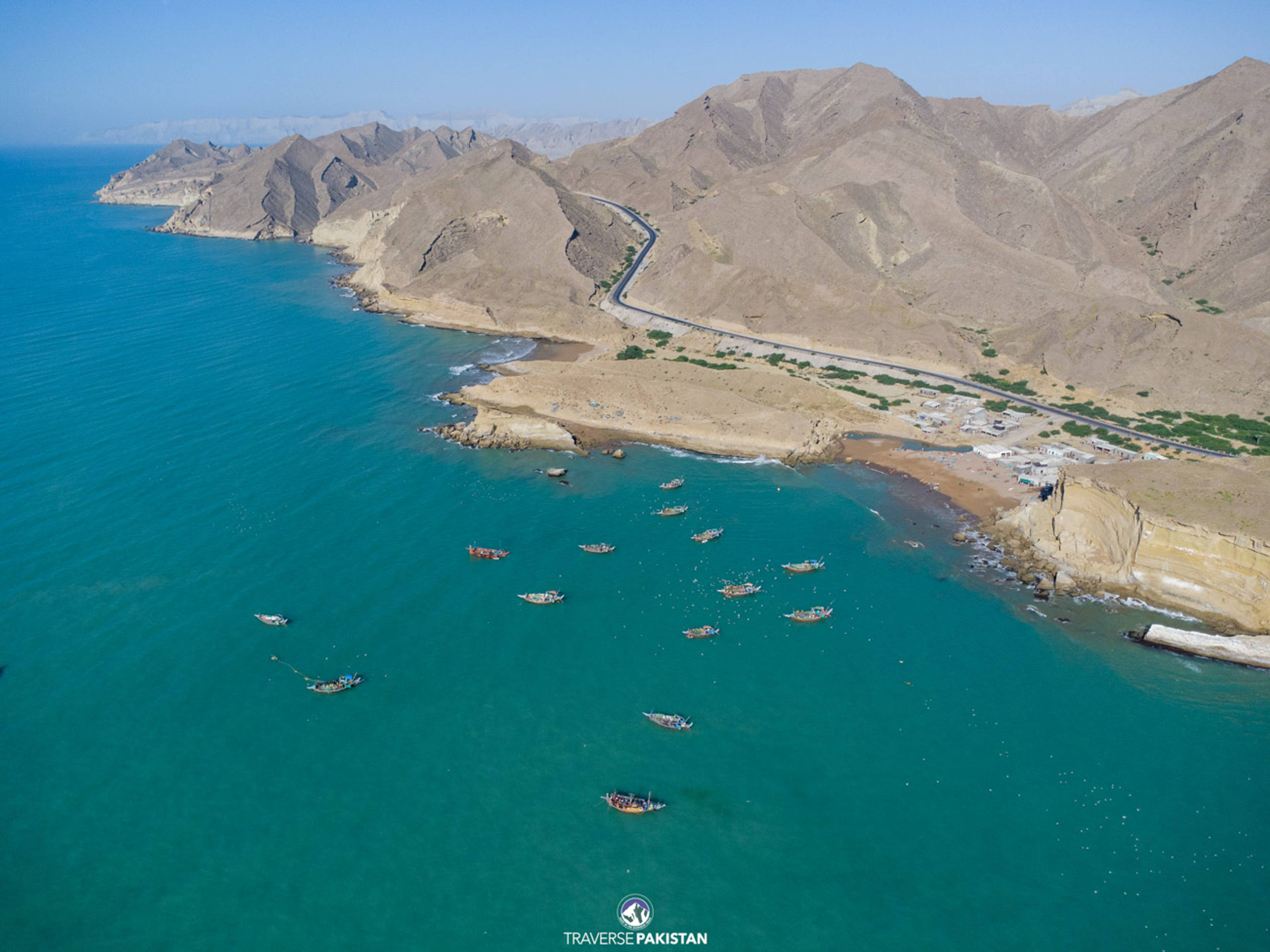
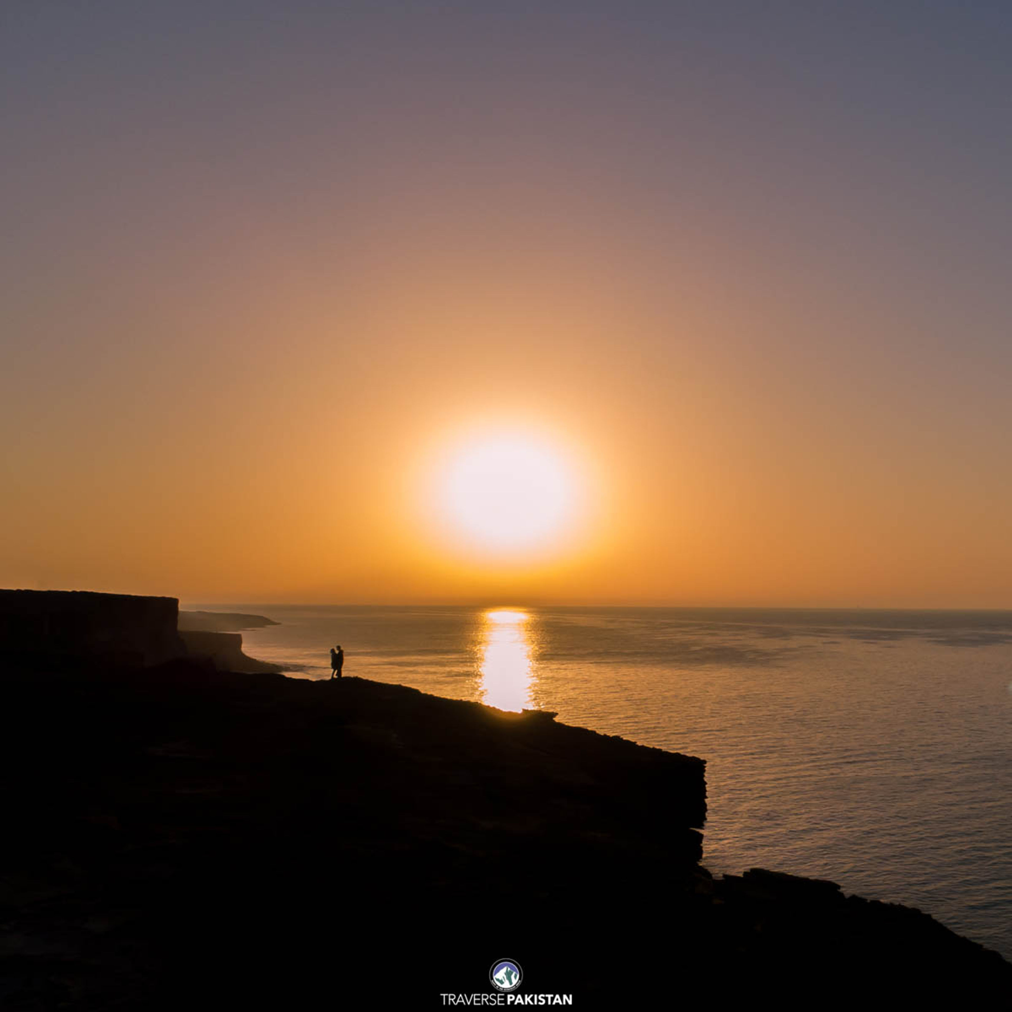
Koh-e-Batil is the flat-topped hammerhead ridge that forms the western skyline of Gwadar. Rising roughly 400 feet above the Arabian Sea and stretching nearly ten kilometres in length, it is what gives Gwadar its distinctive dumbbell shape, sea to the south, sea to the north, and this ridge cutting across the middle. The drive up to the ridge crest looks straight down onto the harbour, the fishing dock and Gwadar city, and it is the accepted sunrise and sunset viewpoint of the town.
3 flexible packages — your dates, your tier
2 hotels & properties
The small, specific reasons travellers keep coming back.
Rises 400 ft above the sea and gives Gwadar its distinctive dumbbell shape on the map.
From the crest, the Arabian Sea stretches away both north and south — a rare double-coast view.
The accepted viewpoint of Gwadar city — both first and last light of the day.
Direct line of sight over the fishing dock, the deep-sea port and the town centre.
November – February
Best timeSea breeze and 22°C — the crest is at its most comfortable for the drive.
March & October
Best timeShoulder — warm but still manageable; sunset light is strongest.
April – May
Poor timeHeat rises quickly; the ridge crest offers little shade.
June – September
Poor timePeak Balochistan heat; humidity from the Arabian Sea makes the ridge punishing.