Later to be briefly ruled by Tibetan, Kalasha in 11th AD and finally united as an independent Kingdom by Rais Ruler in 14th AD, overthrown by Katurs in 16th century. From 16th – 18th century Islam flourished in the region due to era of Mughals in sub-continent. In mid 18th century it was under Chinese control but ruled by Katurs by paying tribute to Chinese. After the expansion of Russia in central asia, British supported Katurs to keep Russian influence out of the region. After independence of Pakistan, Chitral was a princely state later to be merged with KPK province in 1969.
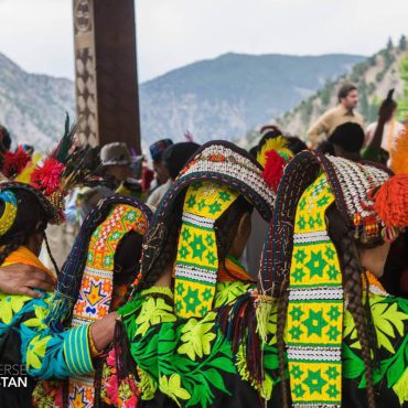
Local language is Khowar spoken by Kho people who lived originally along Torikho River; resemble their neighbours in north Pamirs and the ancient civilisation along Oxus river.
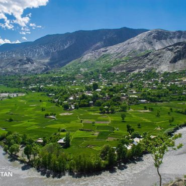
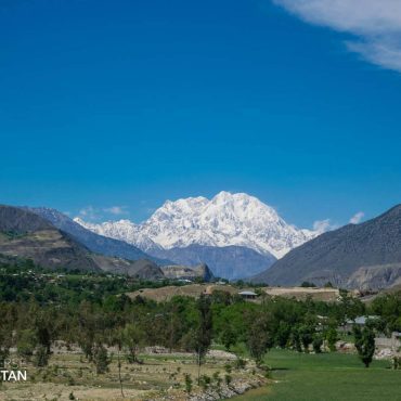
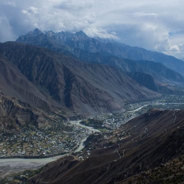
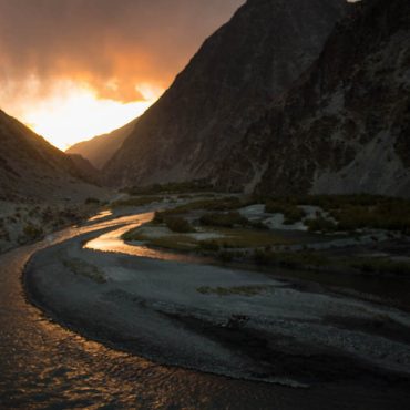
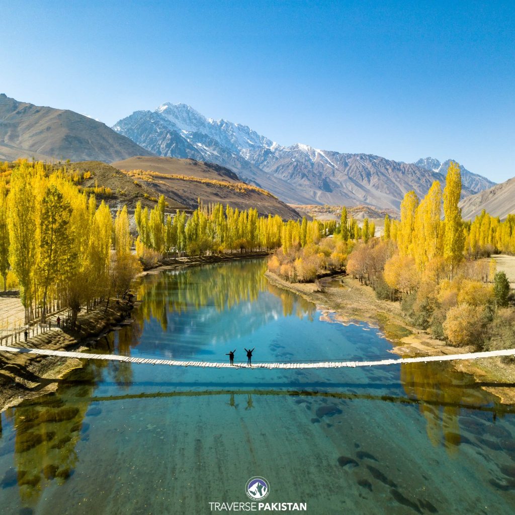
Its a 300km valley separated by Hindukush Mountains from Afghanistan, river draining the valley rises from Borghil as Yarkhun river and after Chitral town is called Kunar River. Tirch Mir 7708m the highest mountain of Hindukush lies in backdrop of Chitral Town, i.e. a base town for expeditions to Tirch Mir, Booni Zom, Koyo Zom and trekking to Karombar Lake, Bashkorgal Lake & Wakhan Corridor.


An initiative to highlight Pakistan as the world’s most authentic off the beaten path Destination, offering most wide range of landscapes and experiences.
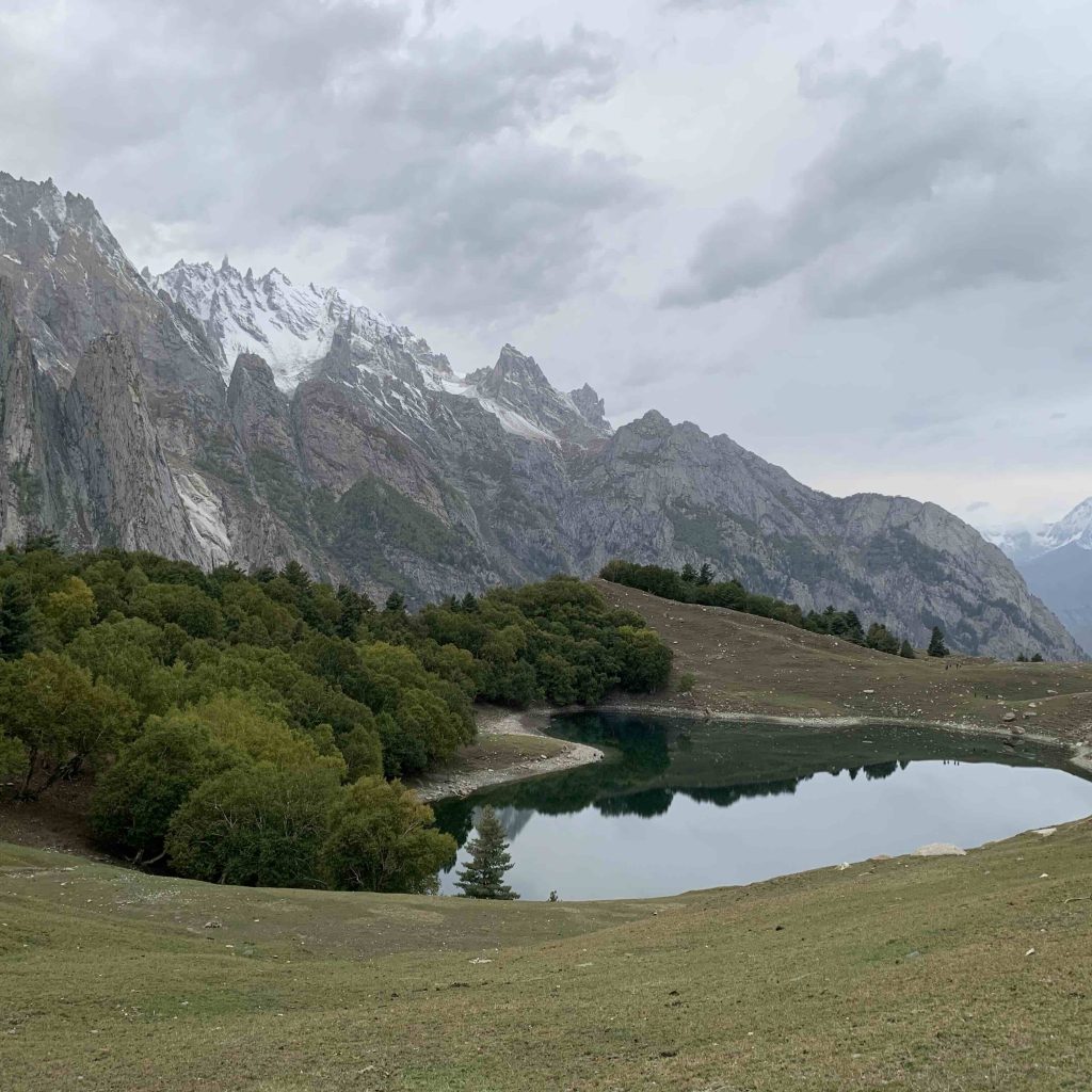
Trek to one of the most mysterious basecamps of Karakoram Mountains; The Haramosh Massif
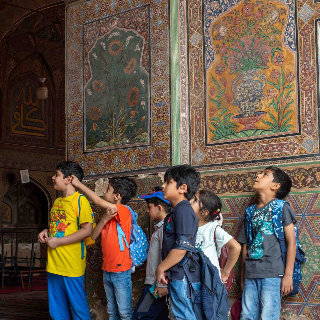
A project based learning school’s trip to Old City of Lahore, Traverse engages on all levels to highlight historical significance of Pakistan